Recognizing the need to incorporate innovation in the way STEM is delivered, WIT launched its GeoTech program, a statewide initiative to integrate the use of geospatial technology into local K-12 schools.
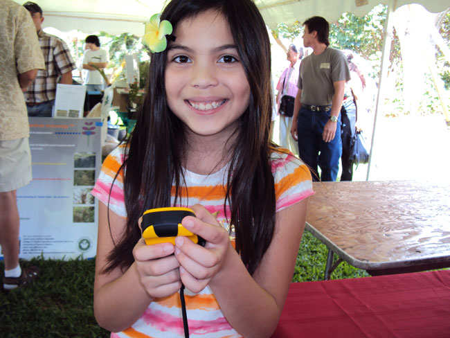
The program encourages hands-on learning and real-world application of the latest Geographic Information Systems (GIS), Global Positioning Systems (GPS), and Remote Sensing technologies.
Using geospatial tools with real-life information, students even in elementary schools have learned to build and contextualize knowledge in multiple disciplines – exploring their world, mapping local assets, and documenting community conditions and needs. They have worked to solve problems, boosting their skills and content knowledge, helping them to feel better about school.
Currently, WIT provides professional development opportunities for teachers, special events for students, ongoing online support for teachers and students, and standards-based curriculum development. Armed with the latest geospatial information and related classroom techniques, educators can then develop their own curriculum to give students a head start towards 21st century STEM careers, as well as valuable exposure to leading industry practices.
Other Innovate Links: